

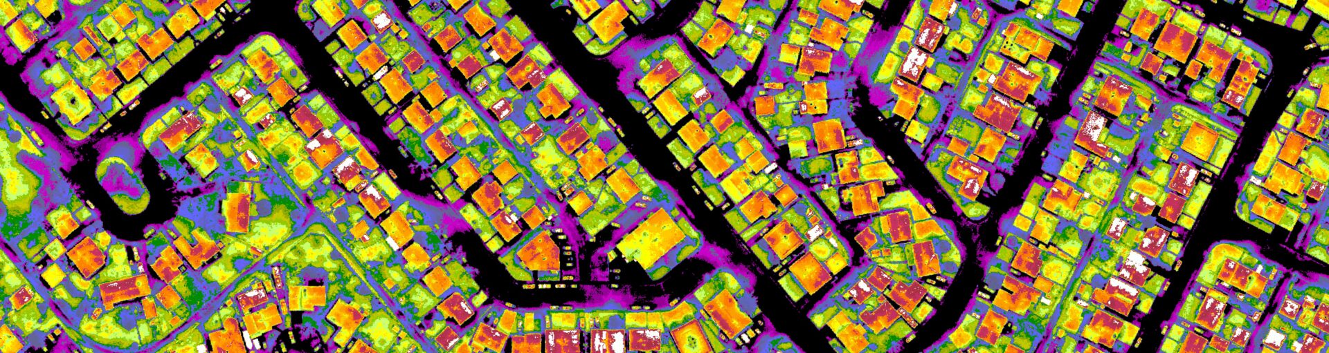
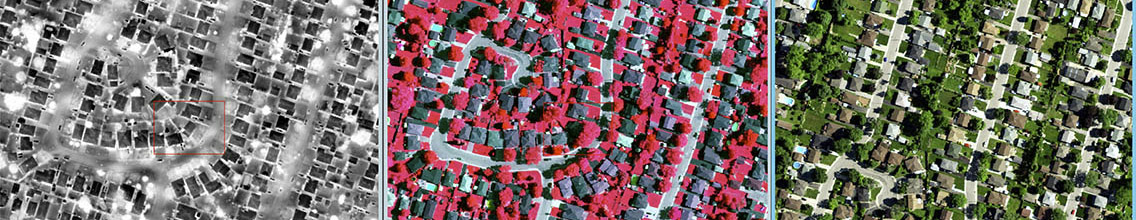
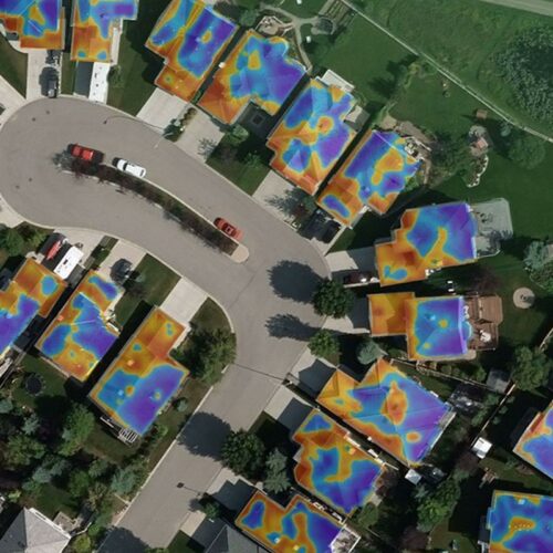
Dr Hay’s long-term research program is titled “The Remote Sensing of Urban Energy Efficiency.” It involves the use of high-resolution (25 cm-1m) Thermal Infrared (TIR) imagery, geographic object-based image analysis (GEOBIA), machine learning, GIS and geo-spatial analysis to accurately define urban energy efficiency from space.
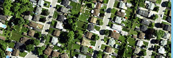
Problem: The world wastes more energy than it uses – every year, with billions of gigajoules of wasted heat energy escaping from millions of buildings in thousands of cities worldwide [1]. Although energy-efficiency (EE) programs exist worldwide, most only measure energy consumption – not waste energy [2]. This is because waste-energy is invisible to the human eye, and challenging to quantify – and it’s difficult to measure, monitor, or manage something that we can’t see. Yet, waste-energy is responsible for an estimated 50% of urban energy demand, but is missing from urban energy efficiency equations.
Solution: In order to solve these challenges, Dr Hay’s long-term goal is to evaluate whether high-resolution airborne thermal infrared (TIR) imagery acquired by the Canadian made TABI-1800 (Thermal Airborne Broadband Imager) can be used to quantify, map and monitor urban energy efficiency over time, at the resolution of individual houses, and the scale of a large Canadian city with over 1 million residents.
Proposed Research Projects
This is an example of projects either underway, or potentially available for students to work on that involve high-resolution (25 cm-1m) TIR imagery, geographic object-based image analysis (GEOBIA), machine learning, GIS and geo-spatial analysis.
TIR Derived Urban Energy Efficiency
Potential PhD Project
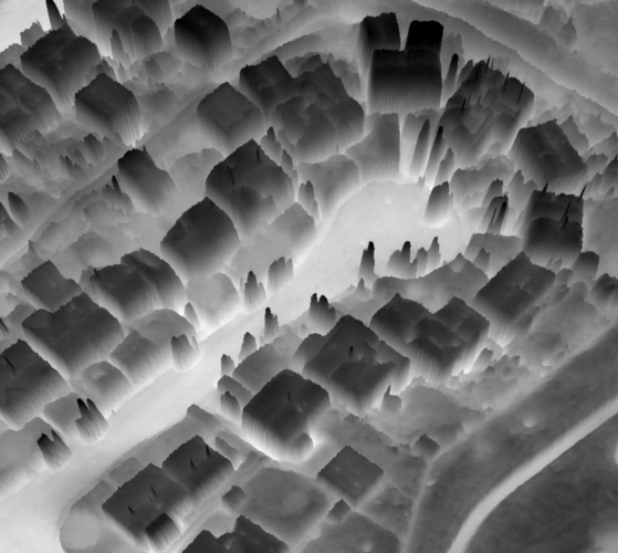
The Role of Anisotropy on TIR Waste Heat
Potential PhD Project
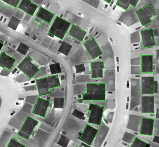
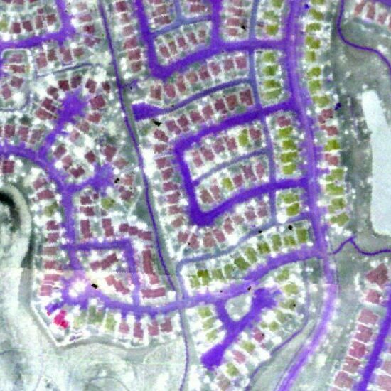
Auto-Roof Extraction from TIR Imagery
Potential MSc Project

TIR Hot-Spot Stability over Time and Space
Potential MSc Project
Machine Learning to Generate 3D Results from 2D TIR Imagery
Potential MSc Project
Diagnostic Machine Learning of TIR Heat-Loss Patterns
Potential MSc Project
Thermal Hyper-spectral Assessment of Roof Materials with the TASI-600
Potential MSc Project
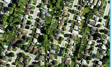
Defining Roof Materials with RGBi Imagery
Potential MGIS Project
Your
Research Project
References:[1] International Energy Agency. (2017). Energy Efficiency 2017. Retrieved from iea.org/ publications/ freepublications/ publication/ Energy_Efficiency_2017.pdf [2] Hemachandran B., et al., 2018. Chapter 11. Urban Remote Sensing 2nd edition. (Editor Q. Weng). Taylor and Francis Catalogue ISBN: 978-1-138-05460-8. pp 235 – 270.
