Galleries

New GEOBIA Review Publication

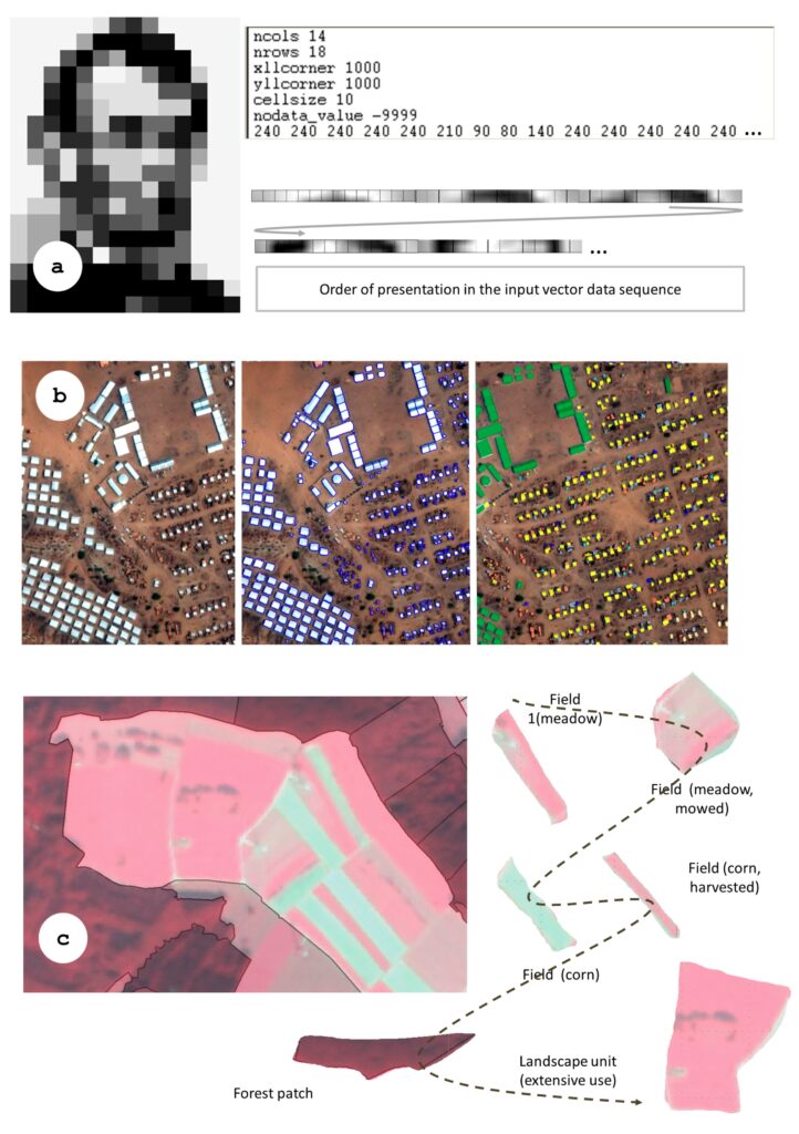
In October, 2019 Dr Hay co-authored an important GEOBIA review paper in the ISPRS International Journal of Geo -Information (IJGI) titled GEOBIA Achievements and Spatial Opportunities in the Era of Big Earth Observation Data”.

The objective of this paper is to review the role of spatial concepts in the understanding of image objects as the primary analytical units in semantic EO (Earth Observation) image analysis, and to identify opportunities where GEOBIA may support multi-source remote sensing analysis in the era of big EO data analytics. It also (re-) emphasizes the spatial paradigm as a key requisite for an image understanding system able to deal with and exploit the massive data streams we are currently facing.

Salar Ghaffarian successfully defends MSc Thesis Proposal

On Sept 11, 2019, Salar Ghaffarian successfully defended his thesis proposal. Salar’s proposal was titled “Automatic Mapping of Residential Rooftops using High-Resolution Thermal Imagery”. In order to meet the needs of our commercial partner (MyHEAT) this research proposes two main goals: (1) optimize a leading-edge Convolutional Neural Network (CNN) method for automatic and accurate rooftop delineation from MyHEAT’s existing H-Res TIR imagery and (2) define the optimal spatial resolution for CNN based rooftop delineation. By satisfying these goals, we expect to: (i) reduce MyHEAT’s ancillary data acquisition/processing costs as their (optimal resolution) TIR imagery will be the only required data source for HEAT loss metrics, (ii) speed up their entire analytical pipe-line, as there will be no need to acquire, correct, or negotiate for auxiliary data, (iii) be able to apply the optimized model to existing and future archives of MyHEAT TIR imagery.

All committee members noted how well written the proposal was. Well done Salar.

Dr Hay receives a 5yr NSERC grant

In April 2019, Dr Hay was awarded a 5 year NSERC Discovery Grant (2019-2023) for his newly proposed research program titled “The Remote Sensing of Urban Energy Efficiency”. His long-term goal is to evaluate whether high-resolution airborne thermal infrared (TIR) imagery acquired by the Canadian made TABI-1800 (Thermal Airborne Broadband Imager) can be used to quantify, map and monitor urban energy efficiency over time, at the resolution of individual houses, and the scale of a large Canadian city with over 1 million residents. 

This has never been done before with remote sensing imagery.